
WEDNESDAY 6 December 2023
Location: Zoom, 7:00 PM ET/6:00 PM CT/ 5:00 PM MT/4:00 PM PT
(Arranged with the assistance of the Texas and Rocky Mountain Map Societies; sponsored in partnership with California, Chicago, New York, Philip Lee Phillips, Rocky Mountain, and Texas Map Societies)
Speaker: Dr. Imre Demhardt, Virginia and Jenkins Garrett Endowed Chair in the History of Cartography, University of Texas at Arlington; Chair: International Cartographic Association, Commission on the History of Cartography
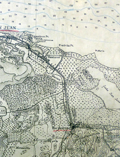
Summary: After Spain had lost its mainland colonies in Central & South America early in the nineteenth century, Cuba was by far the brightest remaining possession amongst the Spanish islands in the Caribbean. Little noticed, however, the Isla del Encanto (Puerto Rico), made a modest progress in its economy and cartography. Unlike Cuba, that island of an area size of Rhode Island and Delaware combined with just under a million inhabitants even achieved limited self-governance in 1897. When the United States set its imperialist eyes on Cuba and the Philippines, Puerto Rico was drawn into that struggle as a mere appendix of breaking up Spanish colonial empire. As a by-catch to Cuba, American forces landed in July 1898 and already by the next month had ‘liberated’ autonomous Puerto Rico and turned it into a de facto colony of the United States, the new imperialist power in the Caribbean. The inability of the conquerors to trace significant Spanish maps of Puerto Rico confirmed the American prejudice that the Spaniards were inept colonizers. That lack prompted both private and military U.S. cartographers to embark on mid and large-scale maps of the island which, however, turned out to be a sort of reinvention of the wheel …
Bio: Imre Demhardt is a native German but made it to Texas as soon as the chance arrived. He was twelve years old when his Christmas was the 1896 edition of Andree’s Handatlas, a lithographed and leather bounded beauty in double folio size and fifteen pounds of weight. This handatlas, a thesaurus of ‘geodata’ from the heydays of the scientific exploration of the interiors of the continents beyond Europe, he still holds as a treasure, because it sparked a lasting interest in cartography in general and especially old maps. Imre was sold on explorative cartography and knew that he had to study History (MA 1987) and Geography (Diploma 1991, PhD 1995, and a Habilitation 2002). Wanderlust then took him to many corners of the globe, most notably he spent a cumulative three years of research in Africa, before, finally, settling on a career in academia. In 2008, he was appointed the Virginia and Jenkins Garrett Endowed Chair in the History of Cartography (abbreviated version of the job title!) at the University of Texas at Arlington. He is the author of several books, (co-)editor of a few more and penned well over seventy scholarly articles and essays, including on the Americas since the Enlightenment.
You are invited to a Zoom meeting.
When: Dec 6, 2023 07:00 PM Eastern Time (US and Canada)
Register in advance for this meeting:
https://us06web.zoom.us/meeting/register/tZcpdu6sqjorE9a3GVYX9vzLZspVsDhmVgQR
After registering, you will receive a confirmation email containing information about joining the meeting.