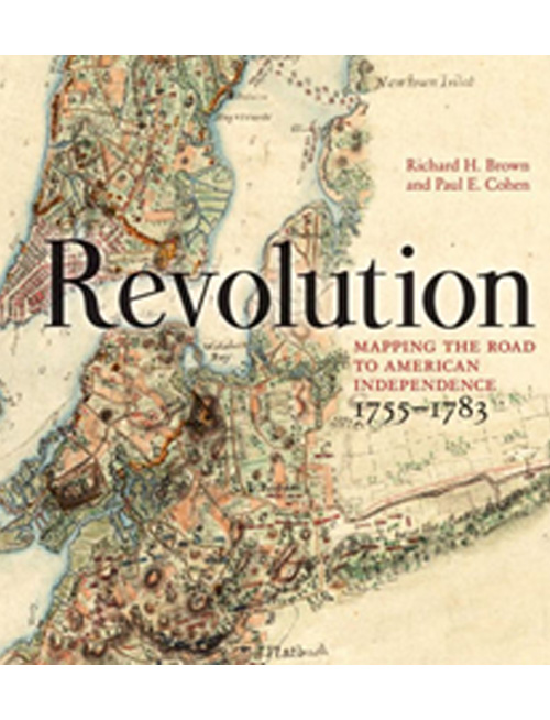

Field Trip to the NY Historical Society for a private tour of “Mapping America’s Road from Revolution to Independence”
The exhibition, originated by Boston’s Norman B. Leventhal Map Center, uses maps, hand-drawn and hand-printed in the 18th and early 19th centuries, to illuminate the tremendous changes — geographic, political, and economic — that occurred before, during, and just after the Revolutionary War. The New York Historical Society — which has added rarely seen manuscript and printed maps from its premier collection, comprising half the exhibition — provided a private tour for members (with our society picking up all charges) conducted by Nina Nazionale, Director of Library Operations and Curator of the exhibit.
Afterwards, members gathered for a drink and Holiday Social Hour at a nearby bar and grill: The Gin Mill.
