

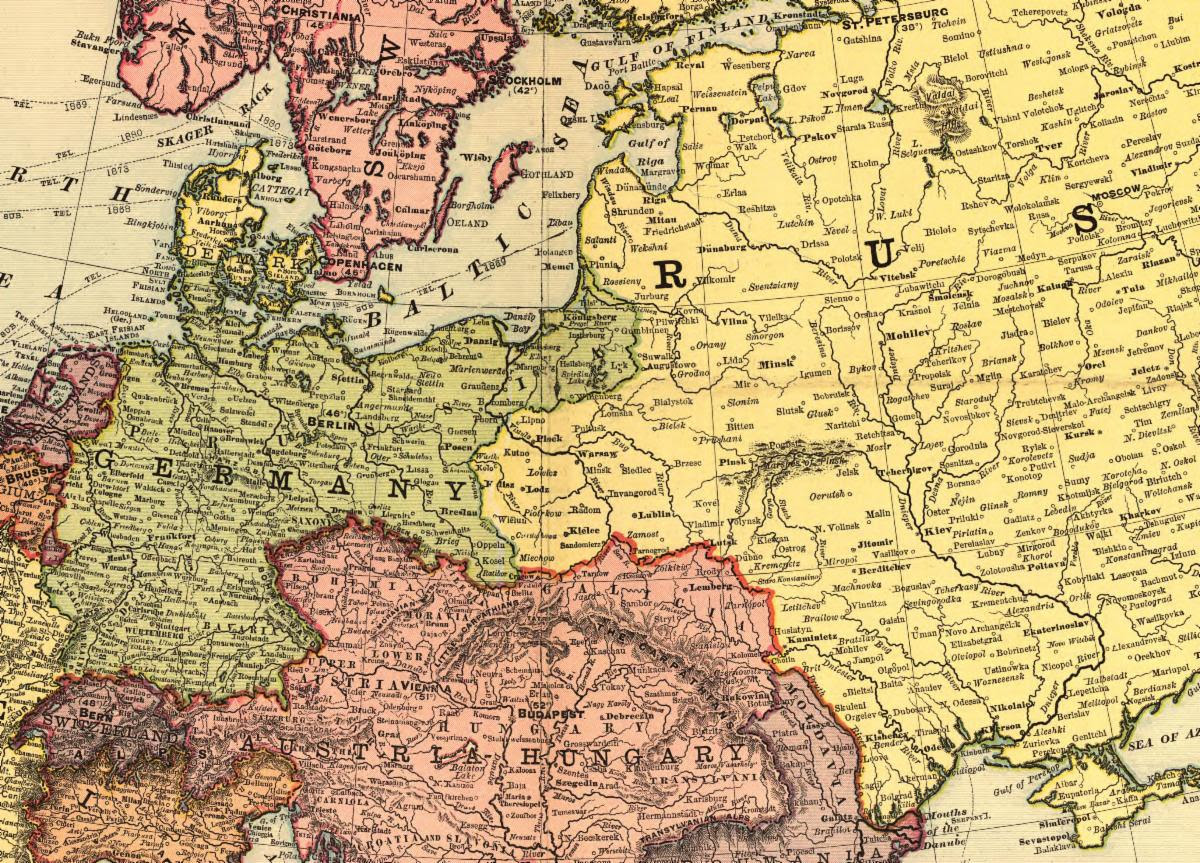
Thursday, September 10, 7:00 pm Washington (EDT) time, 6:00 pm Central Time, 5:00 pm Mountain Time, and 4:00 pm Pacific time, Online: hosted by the Washington Map Society, this Zoom meeting is presented in partnership with the California, Chicago, New York Map Society, Philip Lee Phillips, Rocky Mountain, and Texas Map Societies, and was arranged with the assistance of the New York Map Society. Andrew Kapochunas (New York Map Society Secretary) will show you “How to find an image of ancestral Eastern- and Central-European towns on antique topographic maps.” He’ll compare his method to that recommended by the U.S. Library of Congress. To participate in the meeting you must RSVP John Docktor at washmap@gmail.com to receive the meeting ID and passcode. Tell me, no later than August 21 at kapochunas@gmail.com, about an ancestral village you’ve been unable to find on a map and I might find it for you during this presentation.